Five Must-See Places in La Palma
The observatory ridge, the caldera, the 2021 lava, the laurel forest and the capital. Steep, green and worth the effort.
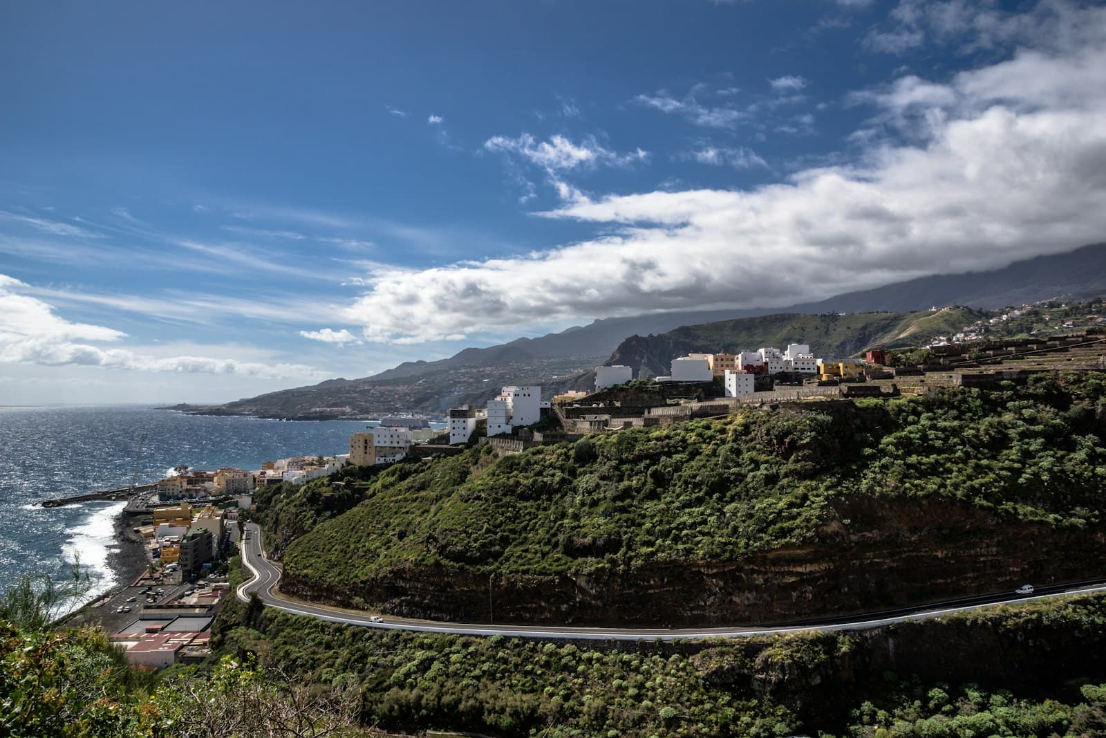
La Palma is the steep, green one. It packs a national park, an active volcanic ridge and one of the world's better observatories into an island you can drive across in about an hour and a half, if the road is straight, which it rarely is.
These five are the ones most visitors are glad they made time for. A different five would be just as defensible.
1. Roque de los Muchachos
The island's highest point at 2,426m, and the rim of the Caldera de Taburiente. On a clear day you are looking down on cloud with the other islands standing out of it.
The observatory sits up here for a reason: high, dry, and with very little light beneath it. La Palma has been a UNESCO Starlight Reserve since 2011, the first in the world, and the island takes its lighting rules seriously.
It is a long drive up and cold at the top whatever the coast is doing. Sunset is spectacular and the descent afterwards is in the dark on a mountain road, so decide in advance whether you want that.
2. Caldera de Taburiente
A national park since 1954, and not a crater in the usual sense. It was carved by erosion and landslides rather than blown out by an eruption, which is why the walls rise as much as 2,000m above the floor.
You can look into it from the rim or walk into it from below. The walk in from Los Brecitos is the classic, and it is a full day with a real descent and a real climb back out. Water crossings inside the caldera vary with the season.
3. The 2021 eruption at Cumbre Vieja
In September 2021 a fissure opened on the western flank and erupted for close to three months. It destroyed homes, farmland and roads in the Aridane valley, and added new land where the lava reached the sea.
It is now visitable in places, and it deserves a note that the others do not. People lost houses here, and some of them are still nearby. Go if you are interested in what happened, look at it as you would any other site where people lost a great deal, and follow the signs about where you may and may not walk. The ground in places is still unstable.
4. Los Tilos
A laurel forest in the north-east, and the easiest place on the island to understand what laurisilva actually is: a subtropical forest that once covered much of southern Europe and now survives in pockets on these islands and Madeira.
It is wet, green and often in cloud, which is the forest working rather than bad luck. There are marked paths of varying length, some of them through old water tunnels, and a torch is genuinely useful.
5. Santa Cruz de La Palma
The island's capital, and a working town rather than a preserved one. The old street behind the seafront has balconied houses that have been photographed a great deal and are still lived in.
It is a good place for an afternoon when you have had enough of altitude, and the ferry and most of the island's services run from here.
Before you go
The north and the west of La Palma get most of the cloud, and the difference between coast and ridge is often the difference between a grey day and a clear one. Check the forecast for the altitude you are going to, not for your hotel.
Anything on or near the 2021 lava is subject to change, and the restrictions exist for good reasons. Check the current position with the Cabildo before you plan a day around it.
The walking here is steeper than it looks on a map. Descents on loose ground are hard on knees, and the climb back out is what catches people out, so know which way your route runs before you start.