Five Must-See Places in Lanzarote
A landscape shaped by six years of eruptions in the 1730s, and the vineyards, lava tubes and viewpoints built on it.
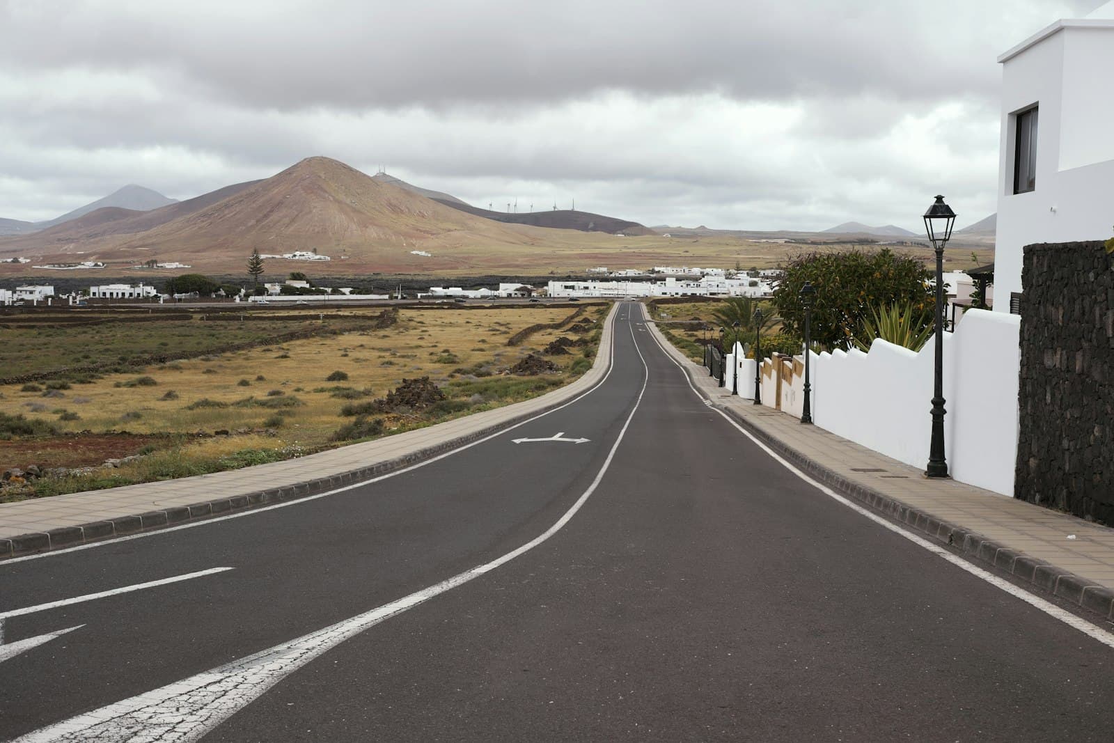
Lanzarote looks unlike anywhere else in the archipelago, and the reason is a single six-year event. Between 1730 and 1736 a series of eruptions covered roughly a third of the island in lava and ash, destroying twenty-six villages and burying some of its best farmland.
What that left is a landscape people farm and live in rather than one they visit. These five places show how, though others would show it just as well.
1. Timanfaya
The national park built on the 1730s flows, and the strangest drive on the island. The park is entered by coach from the visitor centre, on a route through the lava that private cars cannot take, which keeps the ground intact.
Ground temperatures a few metres down are still high enough that the demonstrations at the visitor centre are genuinely thermal rather than theatrical. The rock is sharp and the ecosystem on it is delicate lichen that takes decades to establish, which is why you stay on the route.
2. La Geria
The wine region, and the best argument that Lanzarote is a working island rather than a museum.
Vines are planted in hollows dug into the ash, each one sheltered by a low crescent of stacked stone against the wind. The ash holds the little moisture there is. It is a technique developed out of necessity after the eruptions, and it produces malvasía in a place with almost no rainfall.
Several bodegas are open. It is worth stopping at one and looking at the ground.
3. Jameos del Agua
Part of a lava tube in the north, left by an eruption from the Corona volcano, adapted by César Manrique into a concert space, restaurant and garden.
There is a pool inside the tube containing a small blind albino crab found nowhere else. Do not throw coins into it, which people do, and which is bad for the animals.
Manrique's work is all over this island and this is the clearest example of his approach: build into the landscape rather than on it.
4. Mirador del Río
A viewpoint cut into the cliff at the northern tip, looking across the strait to La Graciosa. From outside it is almost invisible, which was the intention.
The view is the archipelago's best short answer to why these islands are worth the trip: a green channel, a low sandy island, and about 400m of drop under your feet.
5. Papagayo
A set of sheltered coves on the southern tip, inside the Los Ajaches protected area. Calm, clear and the closest Lanzarote comes to a postcard beach.
The road in is unsurfaced and there is a charge to enter the protected area. There is little shade and no facilities to speak of at some of the coves, so bring what you need and take it away again.
Practical notes
Lanzarote is dry. There is almost no natural surface water, the sun is strong and the wind is constant, and all three catch people out in combination: you burn without feeling hot.
The lava fields are sharp enough to cut and to ruin shoes, and the lichen growing on them is decades old. Walking off the marked routes damages both you and it.
Most of what makes this island interesting is the result of people adapting to a disaster. That is worth keeping in mind while looking at it.