Tenerife's Climates, Explained
Why the north is green and the south is dry, what the sea of clouds actually is, and how to read a forecast for this island.
People say Tenerife has microclimates and leave it there, which is not much use when you are deciding where to spend a Tuesday. Here is the mechanism, and what it means in practice.
The trade winds do most of it
The Canaries sit in the path of the north-east trade winds, which blow across the Atlantic for most of the year. That air is cool and carries a lot of moisture.
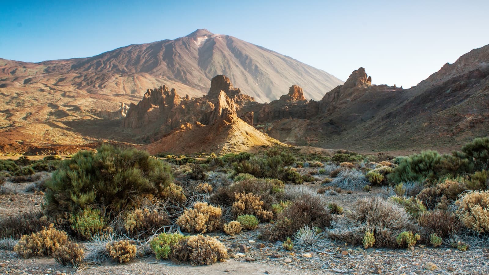
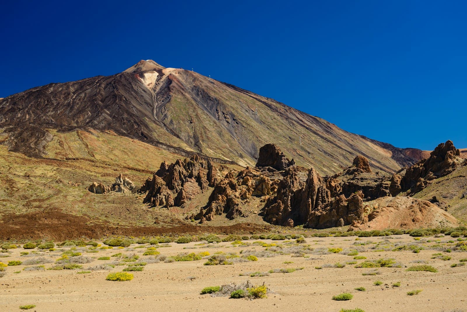
When it reaches Tenerife it meets a wall. The island rises to 3,715m, and the air has to go up and over. As it rises it cools, the moisture in it condenses, and it forms a layer of cloud that sits against the northern slopes.
That single fact explains most of what you will notice.
The sea of clouds
The cloud layer typically sits between roughly 600m and 1,800m on the north side. Below it the north coast is often grey. Above it, the sky is clear.
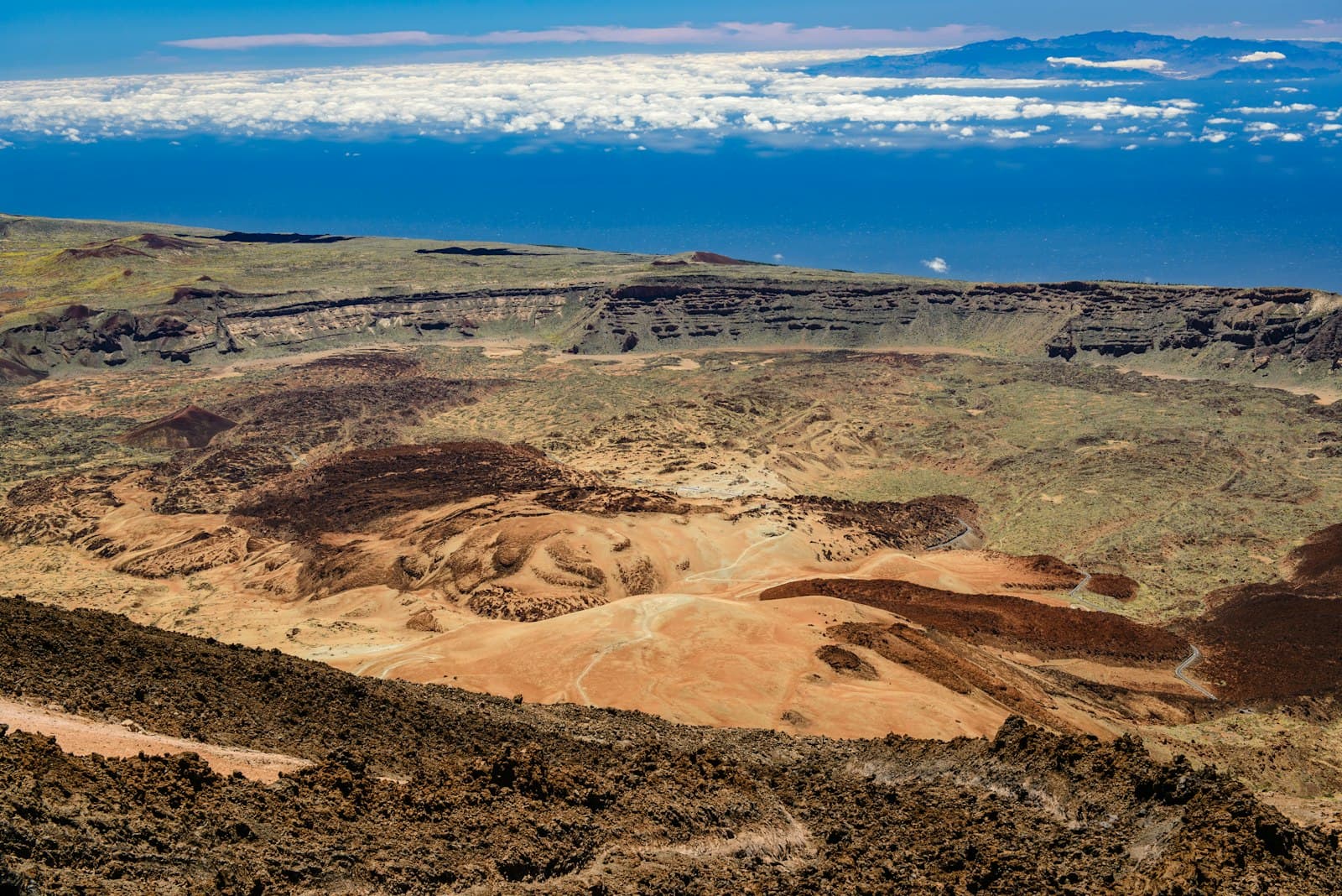
This is why the drive up to Teide so often goes through cloud into sunshine, and why the summit can be in bright sun while Puerto de la Cruz is overcast. From above, the layer looks like a sea with the other islands standing out of it, which is where the name comes from.
It also means a grey morning at the coast is not a forecast for the mountain. Quite often it is the opposite.
Why the north is green and the south is not
The moisture-carrying wind arrives from the north-east, so the north gets the cloud and the rain and the south gets the air after it has dropped its load.
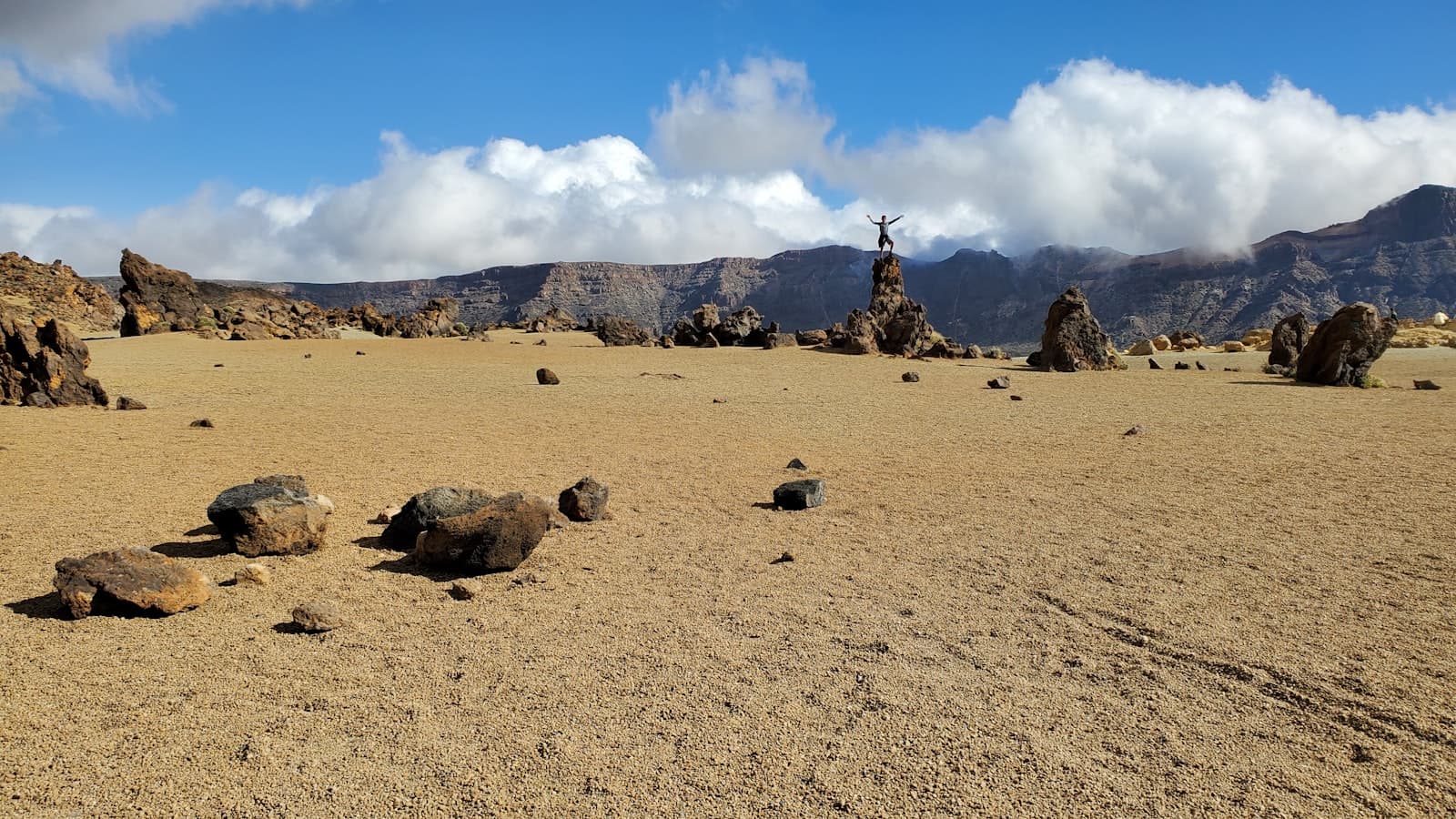
The result is two different islands. The north is green, terraced, and given to banana plantations and laurel forest. The south is dry, pale and scrubby, and it is where the resorts are, because it is where the sun is reliable.
Neither is better. If you want gardens, walking in forest and dramatic coastline, the north repays it. If you want a reliable beach day in February, the south is the sensible choice.
What altitude does
Roughly, temperature falls about 6.5°C for every 1,000m you climb, so the summit can be around 20°C colder than the coast before you count wind chill.
In winter there is snow at the top with people swimming below it, and that photograph gets used a lot. It is real, and it also means the road can close.
The calima
Occasionally the wind swings round and comes from the east, off the Sahara. That brings the calima: dust in the air, a yellow sky, sharply higher temperatures and poor visibility.
It happens most often between roughly October and March, lasts a few days at a time, and it is unpleasant if you have a respiratory condition. It also, unhelpfully, tends to spoil exactly the views you drove up for.
Practical rules
Check the forecast for the altitude and the coast you are going to, not for the island. Tenerife weather apps that give you one number for the whole island are close to useless.
Morning is the north's best chance. Cloud tends to build through the day on the northern slopes, so an early start is often the difference between a view and a wall of grey.
Take a layer up the mountain even in August. People arrive at 2,000m in beachwear every single day of the year.
Do not cancel because it is overcast at sea level. Very often that is the cloud layer you are about to drive above.
The short version
One island, one big mountain, and a wind that always comes from the same direction. Everything else follows from that.