Walking Tenerife: Laurel Forest, Lava Fields and the Ravines Between
Three landscapes within an hour's drive, and the one mistake that turns a five-kilometre walk into a very long afternoon.
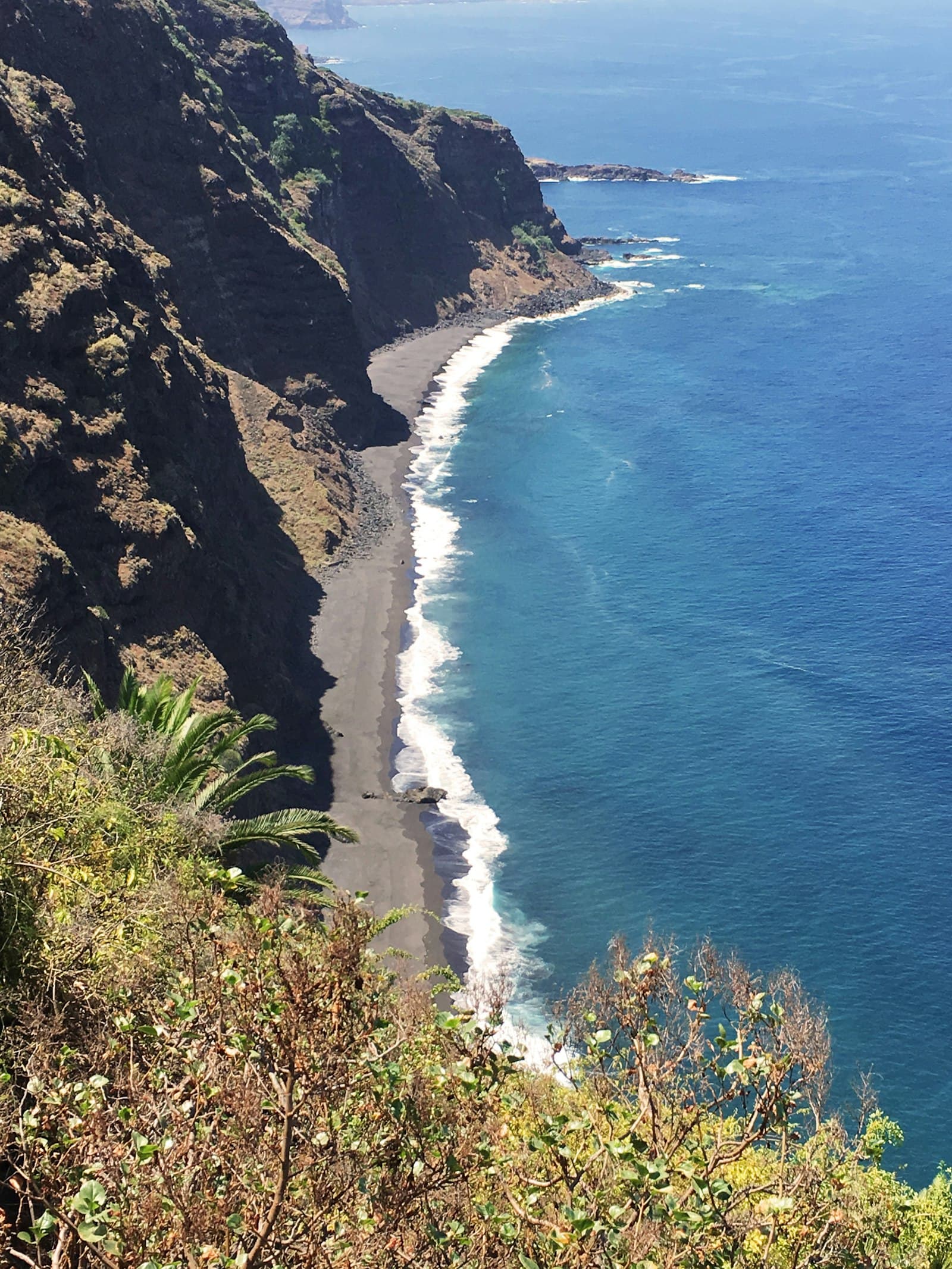
You can see a great deal of Tenerife from a car. You cannot see the best of it. The island's interior is cut by barrancos, ravines running from the summit to the sea, and the paths through them are old, well-used, and mostly empty of visitors.
This is a guide to walking here without either underestimating it or missing the point.
Three Very Different Landscapes
Tenerife packs an unusual number of environments into a short drive, and walking is how the differences become obvious.
Laurel forest in Anaga
The north-east massif holds laurisilva, subtropical laurel forest that once covered much of southern Europe and now survives in a handful of Atlantic islands. It is damp, mossy, and often inside cloud, which is the point rather than the problem.
Paths here are old routes between villages rather than trails built for recreation. Many are cobbled, most are steep, and the surface stays wet.
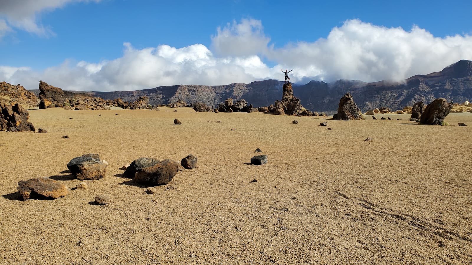
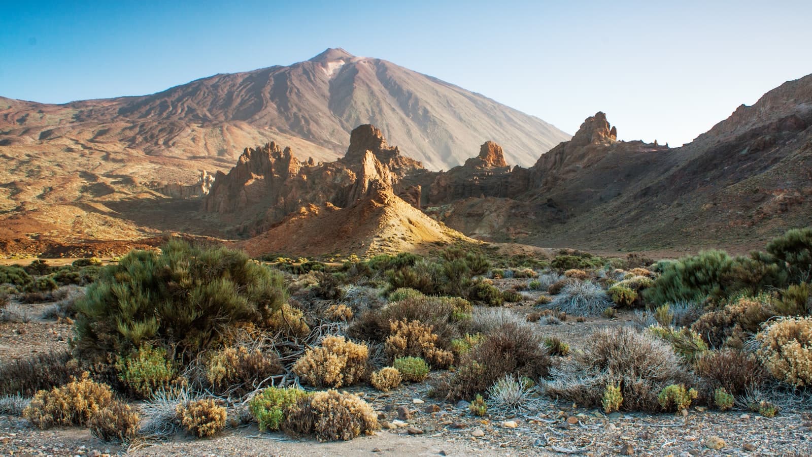
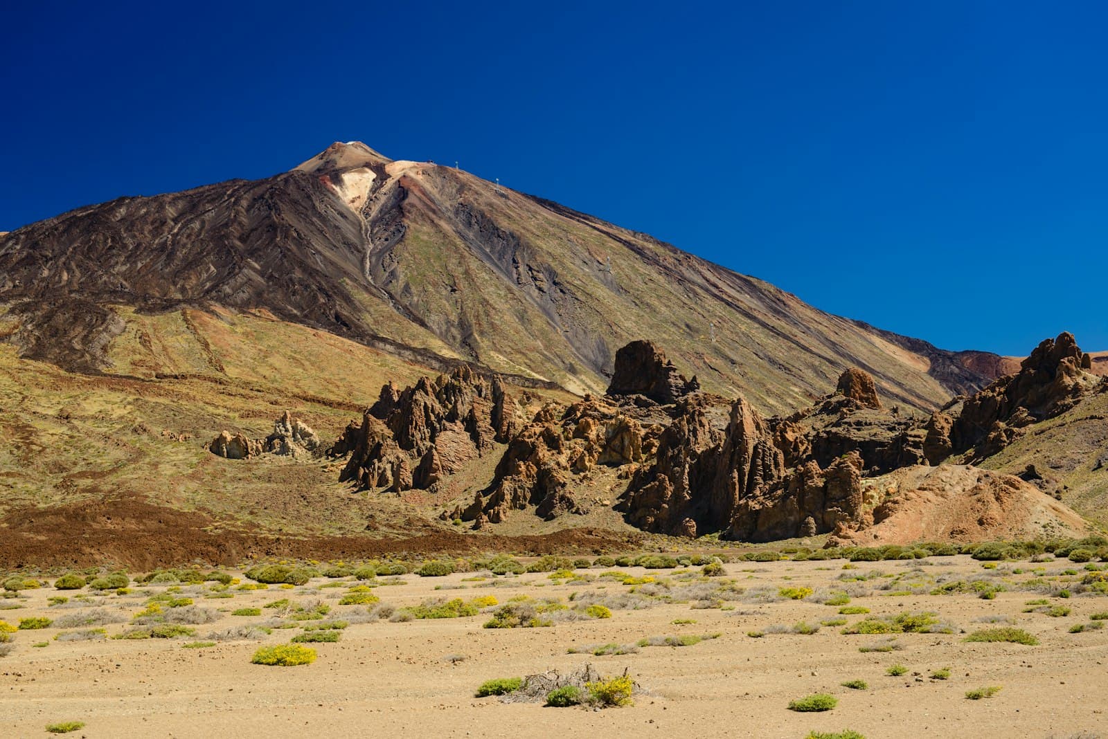
High desert at Teide
Above 2,000 metres the vegetation stops and the ground becomes pumice and lava. The light is hard, the air is thin and dry, and there is no shade at all.
Walking here feels nothing like walking in Anaga six hours earlier, which is the reason people come back.
The coastal south
Drier, hotter, lower. Ravines run down to the sea through cactus and euphorbia, and the walking is exposed but usually flat.
Getting the Difficulty Right
The single most common mistake is reading distance without reading ascent.
A five-kilometre walk in Anaga can involve six hundred metres of climb on uneven cobbles. It is not a five-kilometre walk. It is a two-and-a-half-hour effort.
Down is the hard part
Many Tenerife routes start high and descend to the coast, which sounds easy and is not. Long descents on loose volcanic surface are hard on knees, and the return climb, if there is no transport at the bottom, is the part that catches people out.
Check whether a route is a loop, an out-and-back, or a one-way that assumes a bus or a taxi at the end.
Altitude
Teide's summit is 3,715 metres and the cable car takes you most of the way. Even the short trails from the top station are at an altitude where people feel it. Walk slowly, and if you have a headache, go down.
Practicalities
- Water. More than you think, particularly at altitude, where the dryness is deceptive.
- Sun. The UV index at 2,000 metres is severe even when the air is cold.
- Layers. Anaga can be fifteen degrees cooler than the coast, and above the cloud line the temperature drops away after sunset quickly.
- Shoes with grip. Wet cobbles and loose pumice are the two surfaces here, and both punish smooth soles.
- A downloaded map. Signal disappears in the barrancos.
Permits
Some routes require a permit, and the rules change. The Teide summit cone above the cable car station is the well-known one; Masca has had an access system since the gorge reopened. Check the current position before you plan a day around either. The requirement is real and it is enforced.
Where to Start
If you have one day and want the best of it: Anaga, from Cruz del Carmen. The visitor centre has parking, several routes leave from it, and the forest starts immediately.
If you have a second day: the Teno massif in the west, which is drier, more open, and has the Masca gorge at its centre.
If you have a third: Las Cañadas, for a landscape that does not exist anywhere else in Europe.
Knowing What Is Actually There
Trail markers here are inconsistent, and a lot of what is online is out of date or was written by someone who did not go. CanaryMaps records the trailheads, the parking, and photographs taken on the ground, so you know what you are walking into before you are an hour in.