Tenerife's Black Sand Beaches: Where to Find the Ones Worth the Drive
The island's most photographed beaches are not its best. Here is what volcanic sand actually means for swimming, light and timing, and the coves worth the detour.
Tenerife's most photographed beaches are not its best ones. Playa de las Teresitas has golden sand imported from the Sahara. Playa de las Américas has sunloungers in rows. Both are perfectly pleasant, and both tell you almost nothing about what this island's coastline actually looks like.
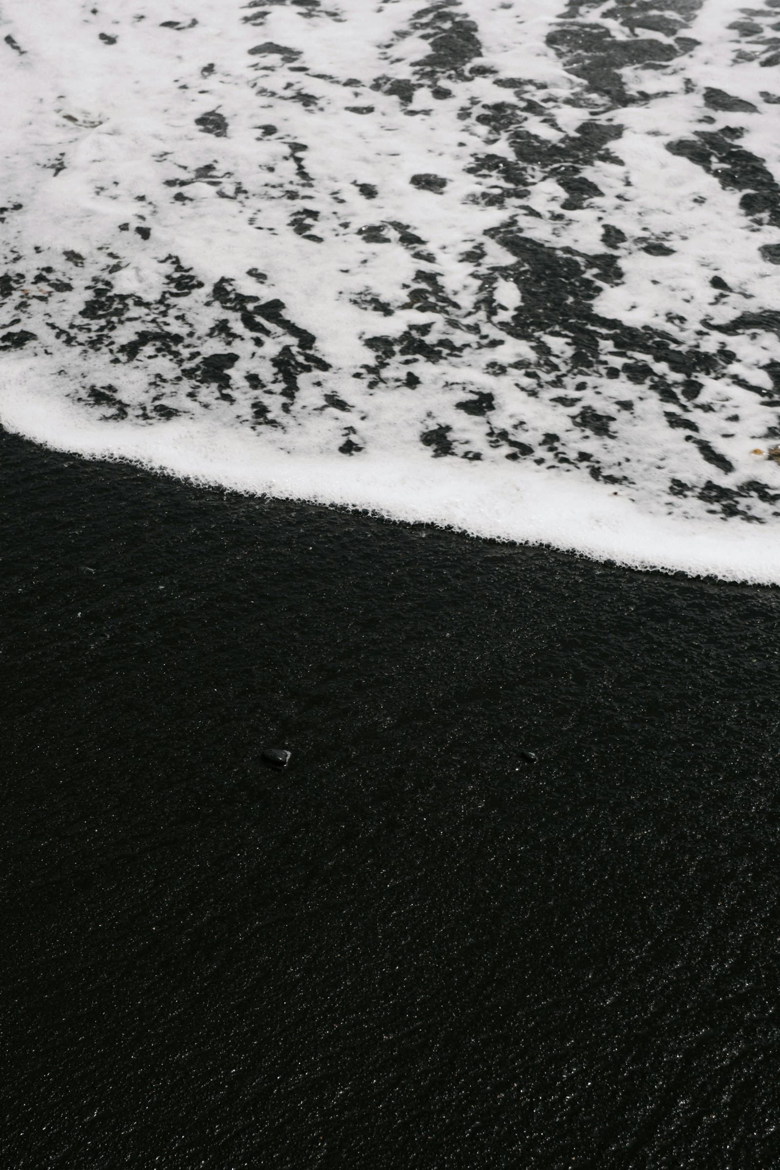
The real Tenerife shoreline is black. It is volcanic, steep, and frequently empty, because reaching it usually means a road you would not take by accident, and a walk at the end of it.
Why Tenerife's Sand Is Black
The island is a volcano that has not finished. Its beaches are made from what the volcano produced: basalt, ground down by the Atlantic over thousands of years into sand that ranges from charcoal grey to genuine black.
That has three consequences worth knowing before you go.
It gets hot
Black sand absorbs heat rather than reflecting it. On a clear summer afternoon it can become uncomfortable to walk on barefoot. Locals go early or late, which happens to be when the light is best anyway.
The water is deeper, faster
Volcanic coastlines shelve steeply. Many black-sand beaches drop away within a few metres of the shoreline, and the Atlantic here has real energy behind it. Some of the most beautiful beaches on the island are not swimming beaches at all.
The light is extraordinary
Black sand under low sun does something no golden beach does: it goes matte and absorbs, so the water and sky carry all the colour. It is why the north coast photographs so well in the hour before sunset.
The North Coast: Wild and Green
The north of Tenerife catches the trade winds. It is greener, cooler, and considerably less developed than the south, and its beaches reflect that.
Benijo, at the end of the Anaga road, is the one most people have seen a photograph of without knowing where it was: sea stacks standing offshore, black sand, cliffs behind. The drive out through Anaga is half the experience: a single road winding through laurel forest that predates the last ice age.
Playa de Almáciga sits just before it, usually with fewer people and the same view.
Bollullo, below La Orotava, requires a walk down through banana terraces. That walk is the reason it stays quiet.
The north is where you go for drama. It is not usually where you go to swim.
The South Coast: Calmer Water, Harder to Find
The south is drier, sunnier and busier, but the empty beaches are still there if you leave the resort strip.
Playa de la Tejita, under the Montaña Roja, is one of the longest natural beaches on the island and one of the few in the south that has not been built on.
Los Guíos, beneath the cliffs at Los Gigantes, is small, dark and dwarfed by 500-metre walls of rock.
Playa de Antequera is reachable only by boat or on foot, which is precisely why it is worth the effort.
What to Check Before You Go
A beach that is spectacular on Tuesday can be dangerous on Wednesday. Three things change:
- Swell. The north coast picks up Atlantic swell year-round. A beach with no bathers on it in good weather is telling you something.
- Tide. Several of the best coves shrink to nothing at high tide.
- Access. Some approach roads are single-track with nowhere to turn. Arrive early, or park before the narrow section and walk.
Flags are posted at supervised beaches only, and most of the beaches worth the drive are not supervised. Read the water before you get in, and if it looks wrong, it is.
Finding Them
The problem with hidden beaches is the obvious one: the good ones are not signposted, and the ones that are signposted are not hidden.
CanaryMaps exists because we got tired of piecing this together from forum posts and out-of-date blogs. Every location is visited, photographed and given exact coordinates, so the drive ends where you meant it to.